Chinese institute launches wetland mapping dataset of high-spatial resolution


BEIJING -- Chinese researchers have generated a wetland dataset of 2015 with a spatial distribution of 30 meters resolution, and made it available for free.
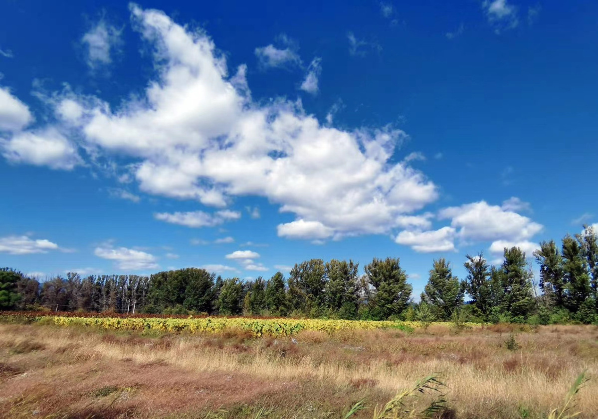
High-resolution and large-scale mapping of the wetland is difficult since its spectral and spatial characteristics are complicated and changeable.
However, researchers from the Northeast Institute of Geography and Agroecology, Chinese Academy of Sciences, combined meteorological, topographical, vegetation and water body distribution data, with the overall classification accuracy exceeding 92 percent.
They classified the wetland at a national scale and achieved the spatial distribution dataset of the country's vegetated wetlands, mangrove forests and coastal aquaculture ponds of 2015.
The wetland dataset, available at the National Earth System Science Data Center, will help in the efficient management and protection of China's wetland ecosystem as well as invasive species control, and support wetland restoration.


- Beijing sees record low temperature in autumn as rain persists
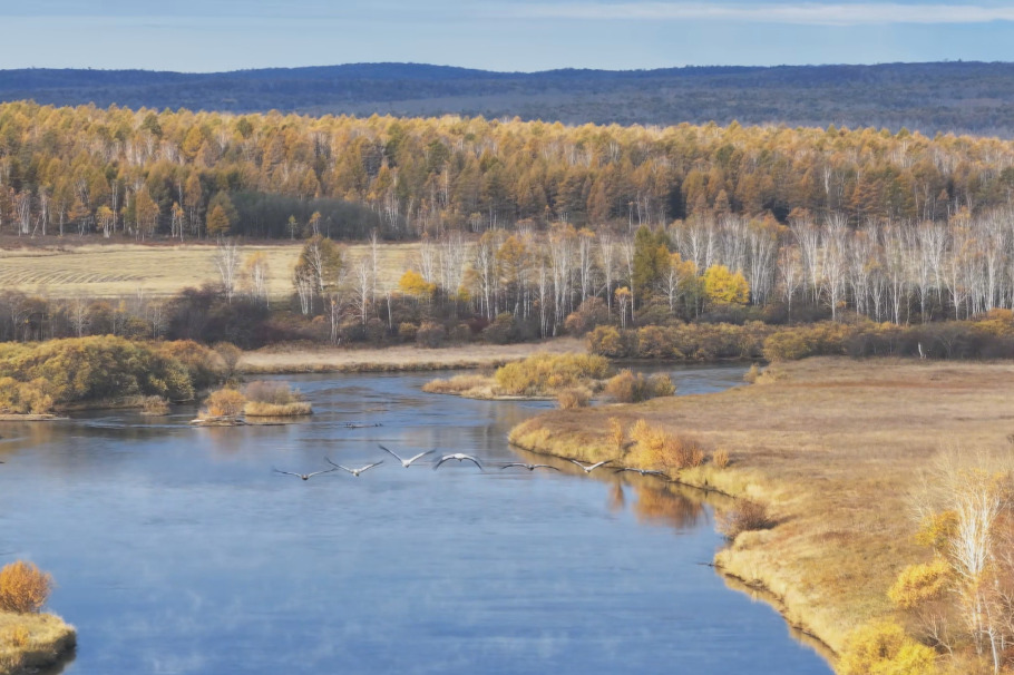
- Heilongjiang reserve welcomes 10,000 migratory cranes
- Squirrel monkeys become osmanthus connoisseurs in Chongqing
- Cliff-fall victim divorces would-be killer husband
- China to send new navy fleet for escort missions in Gulf of Aden
- Shandong mobilizes resources to minimize crop losses caused by rain