Chinese engineers make sci-fi drone mapping reality
Share - WeChat


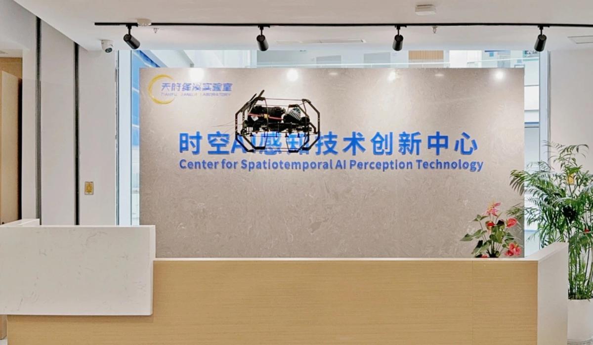
The drone features a spherical shell with a reinforced cage-like frame, allowing it to operate in high-risk environments such as municipal culverts and bridge-supported pipelines, the center said.
Equipped with the 3DAware? flight control system, the drone utilizes simultaneous localization and mapping technology to generate real-time 3D models of its surroundings, the center said. The Dimension I also carries a specially designed 4D-Aware software for video replay and 3D model inspection.
- Belgian cyclist completes epic journey to Shanghai
- China issues alert on overseas study in Philippines
- Liaoning Port Group launches 'durian express' shipping service
- Well-known wild Siberian tiger spotted, thriving in NE China
- How Xi promotes sustainable development cooperation with SCO partners
- How Xi pushes for building common home of peace for SCO


