CHCNAV's role in measuring the Mount Qomolangma
By Zheng Zheng |
chinadaily.com.cn |
Updated: 2024-05-26 20:33


Share


Share - WeChat


In 2020, China used homemade CHCNAV measuring equipment and the Beidou Navigation Satellite System to measure Mount Qomolangma. The domestic technologies and gear ensured high precision even at -40 C and 1/3 normal air pressure. China's advancing capabilities are no mountain too high.


- Central delegation continues to visit officials, residents in multiple areas of Xinjiang
- China forecast 2.36b trips during National Day, Mid-Autumn holiday
- World's tallest bridge opens to traffic in Guizhou
- China forecasts average of 2m border crossings over upcoming holiday
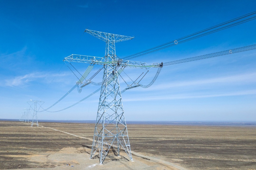
- Xinjiang transforms deserts into renewable energy goldmine
- World's highest bridges in China become a magnet for extreme sports enthusiasts