Chinese satellites join relief efforts after Xinjiang quake


BEIJING -- China has applied its Gaofen series satellites to help with the relief work following a 7.1-magnitude earthquake in Northwest China's Xinjiang Uygur autonomous region, said the China National Space Administration (CNSA) on Tuesday.
Satellites including Gaofen 4 and Gaofen 1 families were deployed to capture images of the quake-hit areas. The remote sensing images of the earthquake hit areas will be instantly shared to the emergency departments for damage analysis, said the agency.
The CNSA will continue to mobilize civil satellites to support disaster prevention and relief efforts, and provide spatial information support for disaster monitoring and decision-making, it added.
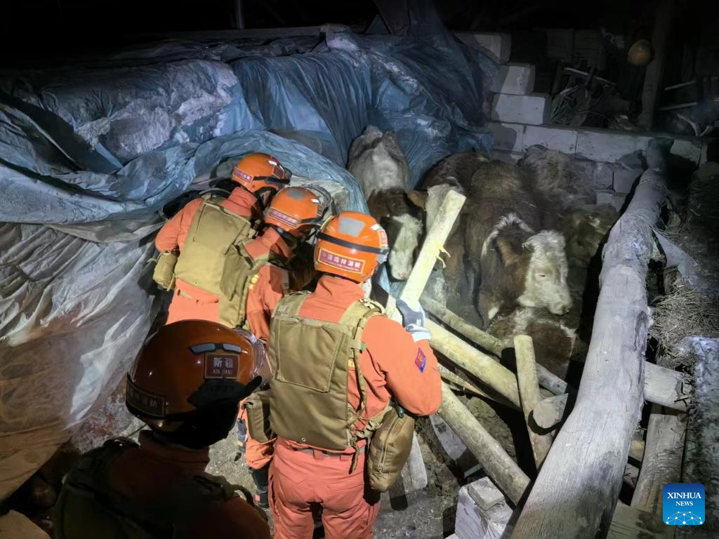
Three people have been killed and five others injured in the earthquake that jolted Wushi county in Aksu Pprefecture of Xinjiang at 2:09 am Tuesday (Beijing Time).


- HKSAR chief executive says to conclude residential complex fire probe within 9 months
- Viral scenic valley in China, not Japan, operators of tourist attraction clarify
- European Chamber Shanghai Chapter calls for stronger EU-China sustainability ties
- Former senior official at State Council body under investigation
- CITIC Group deputy general manager sentenced to life
- Qingdao Port integrates clean energy with China's first hydrogen-electric tugboat